NAME THAT COUNTRY Episode 76

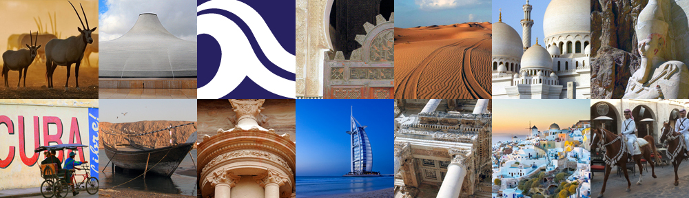
In the 19th century, the first settlements of our mystery city were located along the banks of the saltwater creek pictured above. The only natural harbor around, the creek served as a port for small trading vessels and supported the traditional economies of fishing and pearling. In the mid-20th century, the creek was dredged to accommodate larger ships. Today, major shipping traffic uses the city’s two man-made ports, which are the largest man-made ports in the world.

Crossing the creek by water taxi between the city’s historic districts is a popular tourist activity. The creek reaches about 8 miles inland from the Arabian Gulf and ends in the Ras Al Khor Wildlife Sanctuary.

Can you name that city? 
See below for answers.

Continue reading

The Turkish Breakfast

If it is your first encounter with Turkish culture, the richness of the Turkish breakfast table may leave you in awe. Lost for words, even. Though there are variations from region to region, generally a Turkish breakfast table consists of bread, butter, cheese, tomatoes, cucumbers, olives, honey, jam, eggspastrami, and tea – but Turkish specialities such as kaymakmenemenbörek, and simit are the additions you will not find anywhere else. Here is a handy dictionary of the most important breakfast foods, so that you can navigate your way around the breakfast tables of Turkey with ease.

Continue reading

NAME THAT COUNTRY Episode 75

San Pedro de la Roca Castle guards the entrance to Santiago Bay on the eastern shore of our mystery country. It’s about 5 miles from the city of Santiago, the country’s 2nd largest. The castle is also known as Morro Castle, sharing that nickname with another castle in the country’s capital city (morro is an old Spanish term for a castle by the sea).
Built to defend against pirates, which plagued the surrounding sea, San Pedro de la Roca Castle was designated a World Heritage Site as an exceptional example of Spanish colonial military architecture. It took the better part of the 17th century to build, during which time it was seized by pirates and held for several weeks. Visit the castle to soak up some history and enjoy spectacular views of the coastline and the Sierra Maestra Mountains.

Can you name that country? 
See below for answers.

Continue reading

NAME THAT COUNTRY Episode 74

The grand entrance hall pictured above is all that remains intact of the large palace complex that once wrapped around the north side of the Citadel, the historical and geographical center of the country’s capital Amman, as well as its highest point. The palace was built around 720CE by the Umayyads, a dynasty that ruled the area 661-750. Much of the complex was destroyed by an earthquake in 749. The entrance hall takes the unlikely-for-Islamic-architecture shape of a cross because it is built on top of the foundations of a Byzantine church.

Can you name that country? 
See below for answers.

Continue reading

NAME THAT COUNTRY Episode 73

photo by Sallie Volotzky

photo by Sallie Volotzky

Our mystery country’s super-modern cities rest proudly on a foundation of Bedouin culture. Most Bedouins in the country have given up their traditional nomadic life to live in the urban fringes, making their living as agricultural workers, but a few maintain the old ways, at least part of the year, living in tents and moving around the desert with their herds of camels, sheep and goats. The picture above was taken from a highway en route from Abu Dhabi to Dubai.

Cultural heritage museums in the cities offer a glimpse of Bedouin life. Visits to Bedouin camps can also be arranged. Hospitality is central to Bedouin culture and strangers are welcomed like family.

Can you name that country? 
See below for answers.

Continue reading

Oman’s Beehive Tombs

Beehive tombs at al-Ayn, Oman with Jebel Misht behind

Beehive tombs at al-Ayn, Oman with Jebel Misht behind

The so-called beehive tombs of Oman are a collection of circular Bronze Age monuments built 4,000-5,000 years ago in a northwestern region of the country once known as Magan. It was a significant population center, based largely on copper mining for trade with Mesopotamia. Despite a lack of human remains, the structures are most commonly referred to as tombs.

The tombs are found in three locations, which were collectively designated a UNESCO World Heritage Site in 1988. The best known of the three sites is Bat, located about a 30-minute drive from the town of Ibri. Over 100 tombs, plus houses and other structures, all in varying degrees of ruin, are scattered over a large area. The quantity of remains is impressive, but it takes some imagination to visualize the thriving settlement that stood here 4,000 years ago. The natural setting more than makes up for the low visual appeal of the ruins.

About 2km from Bat, the site of al-Khutum contains more tombs and a tower.

Another 30 minutes or so from Bat is the striking site of al-Ayn, where twenty-one, well-preserved beehive tombs line the crest of a ridge, backed by the soaring wall of Jebel Misht.

We recommend visiting these sites with a licensed guide, as they are tricky to find and come with no signage.